4x4 Warrior- a truck with huge wheels and passenger compartment- onto Fraser Island via the barge.
World's largest sand island, explore beaches, forest, rainforests, lakes, native and industrial history, ship wreck, and then some rain!
Distance: 370km
Total Distance:12492km
Having taken a bus out of Brisbane we were met by our formidable transport, a Warrior 4x4. Designed and built in Scandinavia it has been modified with larger tyres and a passenger compartment so that one can travel up and over and sand one sees fit. Thus we went over the sandy peninsula and out to the barge. A steel craft in green, simple, stout, a ramp at either end and enough deck to fit us alongside a troop of Utes and Land Rovers. We were twice the height of anything there. And twice the length. And somewhat wider too. After a very short journey of 15 minutes we disembarked on Fraser Island, the world's largest sand island.
I was expecting a giant sand bank, maybe a few palm trees, some bushes. It's far larger than that! We hit the local highway, generally known as a beach, and passed dense forests. This carried on for over an hour. Sandy beach. Waves from the Pacific. A forest built on sandbanks.
Eventually we reached the one town on the island. There are a few tourist enclosures here, but this is the only town, though it mostly caters for the tourist trade. We passed over an electrified cattle grid and high fences. These aren't to keep livestock in or out. These are for the Dingoes.
The Australian Dingo has been on the continent for around 4000 years. Descended from south East Asian wolves it somehow got here. Over time it became its own species, a dog-like hunter and scavenger. Fraser Island has around 200 patrolling the beaches, forests, and lakes. They are something of an asset for the tourist trade. But also a danger. Whilst this is perhaps the best place to see a wild dingo one does want to be careful. They have been known to be aggressive, especially with a history of feeding. Settlements and picnic area have the fences, gates, and grids to keep them out. The grids had to be electrified as dingoes are (obviously) smarter and more nimble than cattle.
We left town to go up to Lake Mackenzie. There are three types of lake in the island. Window lakes- holes in the sand that are deep enough to be below the water table. Dams- were a shifting dune has moved over the path of a creek (sand beavers!). Finally depressions- on dunes some of the sand can be scooped out. If this bowl filled with enough debris an impermeable layer can form preventing rain water from falling through the sand. Without an outflow the area fills. This is Lake Mackenzie. A blue lagoon atop a dune, surrounded by a dense forest of brush and tall, straight trees. The water goes down to 12 metres at its deepest. With no inlet/outlet virtually nothing lives in the waters, though this also makes pollution a real risk- nothing gets washed away. Amazing place though, beautiful clear warm waters. The shore is also made up of fine white sand. Apparently it's rejuvenating to smear it on you skin. Forgive me for laughing at the 3 spoilt brats we have in the group. You know the sort, won't join group games, communicate in snide comments, can't possibly get dirty. They were sat on the shore liberally plastering themselves in this stuff whilst the rest of us played in the waters.
We stopped off at Central Station next. This has once been the centre of custom built railway for getting timber from the centre of the island. The timber here was both incredibly unusual and valuable- for 30 years no one in the trade even believed the reports of trees growing so well on a sand island. That sand prevents the trees having a solid foundation. They are therefore forced to grow in such a manner as to keep nearly all of their weight perfectly centred above the point they grow from. The trunks run straight and tall without imperfections. Long straight timbers can thus be cut from them. One of the trees was even found to be from the terpentine family. The compounds within it prevent rotting even when left underwater for long periods. This makes it valuable for creating docks and waterways, though it is much heavier and harder to harvest. Once found it was used in a rebuild of London docks and to line the Suez Canal. It's still there now.
At the station we had a walk around. They've built replica of the woodman's family homes. There some of the wheels they used on the tracks- they had to be wider, as did the tracks, to prevent the lines sinking into the sand. A board walk leads through the forest. Out guide explained the trees, plants, and history of the place. We passed a few walkers too. Would be a nice lace to come walking. It's possible to walk from one end of the island to the other. Only takes 7 days. Then you have to walk back. I wonder if there's a water taxi you can get?
Back down to the beach and the rain came in! It started thundering down at us, lashing against the bus. We were introduced the the local ship wreck. She's an steel ship used as a luxury craft between Sydney and NZ, then a hospital ship during the war, an after a few years back at home before being sold as scrap, lost in a storm, deposited here, then used as target practice by the military forces. Exciting life story! Now mostly under the sand we could just see the rusted remains in the whistling wind and fierce rain. Still, I'd been swimming, so was already for getting wet!
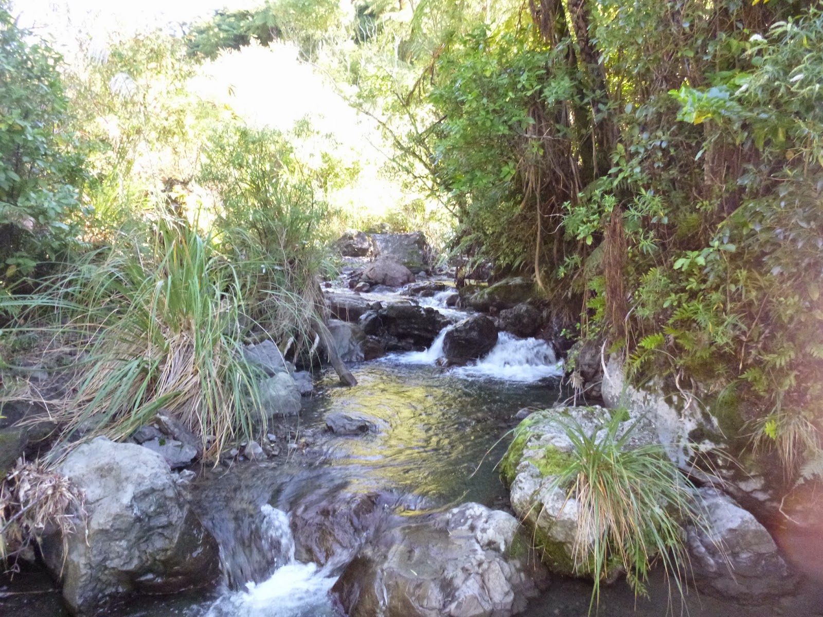
The rain didn't relent at our penultimate stop either. Just a little creek for us to slowly paddle down. Only a few of us were again in the rain. It was actually beautiful and pleasant slowly swimming down through the overhanging vines and brush as he rain patterned down. Rain? It's only going to make things better! Can you tell I'm from Britain?
Out accommodation for the evening was at a place called Happy Valley. Beyond the dingo fences were a number of small houses and the pub we'd be staying at. I love staying at pubs- don't even have to walk home. Still, we were all knackered by 8pm. It was only by group effort that we decided to stay up until 9. Thank goodness we did. I got chatting to our driver-guide. Great guy. Used to be a zoo keeper. Then he helped breed reptiles for zoo collections. Helped out on croc farms at times. Done wildlife work. Owns a number of lizards and snakes now, his wife has alpacas, plus there's the dogs and cats. Great guy. Even if he did play us 70s disco throughout the day.