Showing posts with label hiking. Show all posts

Tuesday, 26 January 2016

Day 53, 54, 55, 56: Arthur's Pass: train and hiking

Wednesday 27th, Thursday 28th, Friday 29th, Saturday 30th, January 

Took the scenic train through the mountains to the wee village of Arthur's Pass, which sits in the National Park of Arthur's Pass, amid the region which is a gap in the mountains called, would you believe, Arthur's Pass.
Then a few days hiking before returning to Christchurch.

Distance: Train, 150km, Hiking, 50km, Train, 150km

Total Distance: 6169km

A lot of people have told me that the best way to go to Arthur's Pass is on the train. It's not the cheapest way to do it, but the buses aren't cheap either. With the train one gets a huge seat, commentary, wee cafe, and the ability to walk around seeing both sides whenever the view opens up into the grand vistas.

In the morning I hefted my bags through the rain and down to the station. There were a number of large coaches present discouraging Chinese and aged tourists out onto the platform. I got my ticket and handed in my rucksack at the luggage carriage. The staff seemed very pleased to have found someone who was not going with bags all the way through to Greymouth, but stopping off at Arthur's Pass.

The trains are luxurious. Each person gets a huge amount of leg room, headphones for the commentary (in English or Mandarin Chinese), and a window seat unless travelling as a couple or group (no sitting next to strangers). The cafe is relatively cheap (compared to British trains, aeroplanes, and road side cafes). There were a couple of viewing carriages that have no windows or seats, just a tall railing, so people can take better photos as the landscape speeds past. 

The terrain we went through was beautiful- on a good day. My outbound trip was not so good on the weather front. Mountain tops were concealed by cloud and everything was damp. However my return was much more pleasant, with clear blue skies showing off the great ranges about Arthur's Pass, the glacial valleys, and brilliant blue rivers.
To much an extent I've already been spoiled with New Zealand's mountains. These were larger than much of what I've seen on the bus or walking, but I'm not sure how much it is worth the trip for those already well traveled around the South Island, compared to getting to the Pass via bus or hitchhiking.
Having said that I'd definitely tell my parents to go via the train. It's prefect for anyone slightly older giving a chance to see a huge amount of landscape in comfort. They do a number of other train journeys in similar style, showing off the coasts.

Arthur's Pass 
My first afternoon in the Pass was miserable and wet. The weather was potentially going to improve over the next few days so it seemed most sensible to chat with people in the hostel and visit one of the two cafes in the village.
My hostel was once the hut used by Mountaineers travelling through the pass and used as a based to climb the local mountains. It reminds me of the older huts one finds up in the ranges which are maintained by the Department of Conservation. However "The Sanctuary" is far more hospitable than the huts, having a proper kitchen and bathroom. The place has a rustic, handmade, feeling, with much of the pipe work being exposed and the toilet having been converted from an outside to an inside affair only recently. The boiler has on the blink during my stay but with all the old radiators we were kept very warm in the 8-bed dormitory. Everyone loved the bathroom. The shower is just a shower head with its fixture attached to the roof above a bathtub. But the roof is made of glass! During the rain or on a clear day having a shower was a bizarre and interesting time. Just wish the roof was six inches higher.

That night I sat with the only other two guests in the dorm, one from New Zealand/Britain, the other from Australia/France. We chatted about the usual array of traveller topics, life in NZ, and I got useful advice on what to see here.

Once the weather looked better I decided to walk to the west side of the South Island. The village is nearly at the top of the pass. Going an extra few kilometres west one reaches the point where the rivers start to flow west instead of east. I found "Misery Lake", which was as cheerful as it sounds. The rain had caused a flood. Even the boardwalks over the marshes were flooded. I gave up after a little while. Time to visit something else.

Back at the hostel I met a new roomy, Anna from Germany. We were both planning on going to see the Devil's Punchbowl that afternoon- a magnificent waterfall (I heard 170m high) that drains a mountain valley. I'd been told of a path that we should/shouldn't use. The one beyond the viewing platform. Behind the "Warning: Rock Falls" sign. The one that goes to the base of the falls.
Let's do it!
The basic path is easy enough. From a roadside car park in the village, across a bridge over clear, blue, ice cold waters, and up through the forests. At the platform we found a small group of guys with a similar, but better plan to us. Using a tripod and camera on the viewing platform they stood as close to the base of the falls as one safely could with dignity intact, giving them a photo of themselves and the waterfall.
You know me. I have an abstract, liberal, view of both safety and dignity.
Hence I now have an atrocious video of the falls taken from far too close. Anna was sensible enough not to follow. By the Devil's Punchbowl the waters thundered around me like a hurricane to the point where I could neither see nor hear. It was magnificent. I was only 15 feet off and drenched. Head to toe. As if I'd been swimming. 
We happily retreated to the hostel. Everything on the radiators, me in the shower. I made coffee and we  huddled in the kitchen. Slightly damp, but now warm.

That evening we were joined by Tal from Israel. We chatted away through the evening until Anna fell asleep, at which signalled bedtime.
The next morning the weather had dramatically improved, thank goodness. Our plan for the day was the "must do" in Arthur's Pass: Avalanche Peak. It's an understandable name when you're at the top though. 
There are two tracks up to AP- the Avalanche Peak Track and Scott's Track. The Department of Conservation Wardens suggested going up APT and down ST. 
APT is very steep and requires some climbing using hands and feet to scramble up the route. For me this was an entertaining relapse into what I have learnt through years of climbing. For the girls it was somewhat more arduous. 
For 1 1/2 hours the wet, green, forest encroached upon the well warn route as we passed cliffs and waterfalls. Suddenly the bush line appeared. This is the point above which trees don't grow. Due to the cold in winter above this line there are only grasses and hardy little flowers. I've always found it a fascinating sight. That suddenly the dense forest stops. A stark change from dark green canopy to bright blue sky. Yet the summit was still not visible.
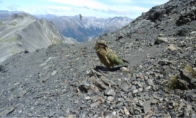
We walked for another 1 1/2 hours up and over small rocky hills. We were disturbed on occasion by the cries of birds. Suddenly the Keas descended.
Keas are the world's only alpine parrot, living in the high regions of New Zealand. They are far too clever, once having learnt to rip holes in the sides of live sheep to extract the nutrient rich liver or to disembowel live limbs to get at a stomach full of sheep's milk. Hence Kiwi farmers, over 100 years ago, putting a bounty on their heads.
Now there are only 5000 left. The sheep have been extracted from their territories. As a unique, endangered, species, they are now protected. Numbers are steadily improving, but the birds still remain annoying. They destroy cars during the ski season, begging and stealing from tourists in the summer.
They're still beautiful, intelligent, entertaining birds- and they know it.
We saw them throughout our journey, and they gathered around us atthe point were APT met Scott's Track. From here we had to scramble along the ridge (cliffs on either side weren't THAT big) and along to the summit at 1833 metres

We were lucky to be there on such a perfect day. The view was spectacular. To the North Arthur's Pass ran West to East. Across its far side we could see the  Devil's Punchbowl, still looking enormous, and the basin it drains formed by scree and snow covered mountains. To our East and West the floor quickly fell away toward scree slopes, cliffs, and grasses, eventually finding the rivers that drained each valley. And to the South ran, West to East, Crow's valley. The base of the valley was in the dark, deep beyond the cliffs. At its head we could see the magnificent sight of Crow Glacier. It was large, with a fern leaf pattern of blue cracks running across the white surface. Beyond it all stood grand mountains, many topped with snow, all showing eroded rocks with small marks of green.

At the summit we joined every other tourist in Arthur's Pass. And amazingly for New Zealand most of them weren't German! They were primarily Israeli. Anna and I learnt from Tal that there is an unwritten, informal, guide for all Israelis visiting NZ. People inform each other of great places to stay and visit, including certain trails that evidently the wider world should be more aware of, but isn't. Avalanche Peak is one of the major Isreali destinations, and I heartily agree. 
Granted, like much of NZ, you are a slave to the weather. In anything but a sunny day even just leaving the bush line is unadvisable. The weather changes quickly. Should the cloud cover come in you'd be lucky to keep to the path. Should the rain come in whilst scrambling over the rocks one slip could be fatal.
But we had all been lucky. The summit was surrounded by people taking a well deserved break. And Kea. Looking cute and harmless for photos, maybe a treat. Then, when someone's back was turned, they'd sneak in to steal whatever took their fancy. 

Finally we decided it was time to go. Scrambling back along the ridge didn't finish were we met both tracks. Nearly until the bushline Scott's Track proved to be all rock and big drops. However once amongst the trees we were not beset by the same amount of climbing as on the APT. Instead the descent was mostly switch backs with only the odd monkey act required.

At the bottom Anna and Til had to quickly pack up to catch a ride back down to Christchurch. I stayed on another day before getting the train back for another night in jail in Christchurch.

Photos!


Crow's Glacier

Sexy beast


Cheeky

P


P

Devil's Punchbowl


Arthur's Pass Village


Saturday, 16 January 2016

Day 41-43: Stewart Island 3 day hike

Friday 15th-Sunday 17th January

My three days (well, nearly, didn't take that long) around the forests of Stewart Island with some really weird, annoying, people.

Distance: 42km

Total Distance: 5175km

Ok, what's that racket? How can you all be such terrible people? It wasn't so bad in the morning or the evening when you were all just grumpy and unsociable. But now...
Is that ticking? Who TICKS in their sleep. Seriously. Ooh, they've stopped. No they've started again. They're like a human metronome. It would be impressive if it wasn't so F!@£?ing annoying.
And not one but two snorers? One normal, rhythmic, quieter snorer, the other an occasional hippo impression thrown in for good measure.
Then there's someone whispering in their sleep. Some how load enough to hear, but not enough to understand.
And evidently you can't sleep through this either, eh? The man apparently sleeping under 3 sleeping bags, made of alternating layers of tin foil and crepe paper who insists in turning over every 5 minutes.
Add screams and gnashing of teeth and this would be a soundscape for an Hieronymus Bosch painting. I'm tempted to complete that ensemble...
Sod it, I'm going to the toilet. Maybe the cool breeze outside will refresh me.


Stewart Island's a lovely place. There are plenty of birds here- many that are rare in the rest of New Zealand. The terrain and forests aren't all that so different from many other parts of the country though- maybe muddier in places, but that's about it. Hence, if we're honest, I'd suggest not doing the long 3 day "Great Walk" here and instead staying in the lovely hostels and hotels of Oban and doing some day walks, or going out fishing on a boat. Two older ladies just came into the hostel having caught 20 blue cod and a shark between them in an afternoon!

But I'm probably biased. Here's my "Great Walk" experience.

Day one was cold, slightly windy, and pretty wet. I wasn't really in the mood, but the walk was due to be short so I could wait until lunch time, when the worst of the weather would be gone. 
As I started out from Oban the skies were grey and dull. Over roads and along beaches I headed for Lee Bay where I'd start the true walk.
From here it was just all forests, small hills, and coast line. Plus sand flies. I hate sand flies.
Not much to report, I'm afraid. 

Tired and wet I was glad to get to the first hut, Port William. Up on the white board there were reports of Kiwi sightings nearby- this is the real reason to come here. There are supposedly a few that appear around the hut, as well as on a beach 20 minutes north. 
A few small groups were sat around the communal tables as I entered. I smiled, said hello, made a joke about how grateful I was to get away from the sand flies... And was met with stoney faces or grumpy boringness. What a crowd. I miss the hostel.
I read for a little while, wrote a little, ate some bread and cheese, then went to bed. Not much else to do.

At midnight I awoke and went out to brush my teeth. On the higher land where the grass met the sand 4 young Germans sat in the dark, waiting for Kiwis to appear.
"Seen anything yet?", I whispered.
"Just Possums", they moaned.
As I made my way to the sink I realised what they meant, damn things are everywhere, right by your feet. Doubting I'd see any kiwis I went back to bed.

The next morning I had less than 6 hours of walking to do. Thus, unlike everyone else, and unlike my usual morning, I had a long lie in. It didn't matter when I left.
As the rest exited I began breakfast (bread, cheese, nutty cereal bar), repacked everything, filled water bottles. Once set I ran outside, slammed on my boots and gaiters as the sandflies descended, then took off before they began to bleed me dry.

A simple muddy stumble over a hill into the forest today.
I do like walking at these times. When one learns to let go of trying to control everything, realising one can't think it all through- my spinal cord kicks in and my legs tell me that they work better on auto pilot. They create a rhythm of their own, I don't have to think about it. I'm orchestrating events, but not controlling them. A rider, not the steed. The world goes by as my legs pound along and my mind is free to think about other things.
By 4 o'clock I was at the second hut, having passed a few groups on the way, climbed a fallen tree, done a little sunbathing, taken photos, seen old timber mill sights, watched the birds, and eaten the last of my jelly babies.

Hmmm...6 hours until bed time. What to do?
I finished my present book, read two more short ones, and started another, whilst finishing my cheese and most of the bread. There were a few less grumpy and boring people around, a mature family having joined us, but it wasn't much of a change.

Eventually I went to bed.
Hut beds are just two large platforms between three walls, one above another, with mattresses for each person, most usually with each having their head closest to the edge.
I'd secured a spot next to the wall, so I'd only have another person on one side, leaving me near to the well insulated wall and ceiling, as well as giving space by the wall for my necessities- light, kindle, phone, Walter Knitty.
Here I slept in my thermals, too warm to need my sleeping bag, listening to the cacophony that was my neighbours. 

In the morning there was only "5 hours" to do back to Oban. Again I was the last to leave the hut, but I passed many groups as I ranked up the gears on the flatter ground, heading towards lunch, a shower, and clean clothes.
Then I stopped.
Kiwi!!!
As documented in my previous post, I stumbled, with every bit of luck I could conjure, upon a kiwi. Well done me.


So in the end it was all worth it. I'd been hoping to see more of the island's birds, and whilst this wasn't true for much of the trip in the end I got my kiwi.

Some say it's the journey, not the destination that's important.
This weekend the journey wasn't fun, but the destination was worth it. 
I've seen a kiwi that lives wild and free.
That's good enough for me.

Monday, 4 January 2016

Day 30: Walking up Mt Iron, then the Best Cinema in the Country!

Monday 4th January 

A walk to a beautiful panorama, then to New Zealand's best cinema

Distance: walk, ~10km

Total Distance: 4385km
(Let's face it, the TD is going to get screwed up once I'm flying and touring across Oz & USA, so I'm fine with having estimated (~) distances)

Having called a whole bunch of people about my itinerary I decided to go for a walk. Mount Iron is a large hill sat between Wanaka and Albert Town, giving wonderful views of the surrounding mountains and lake. It was hot and slightly tiring, but the view was worth it. The view was so worth it.


YOU ALL NEED TO COME SEE WANAKA!!!

Heck, buy a house here- they've just built a load. You could buy a boat too, there were a couple for sale. Just come for the summer, rent a room, get a summer job in the tourist trade. On your days off you could go visit a glacier, or go into Queenstown.

I had a wee walk through the suburbs for the hill, down towards the lake. Nice place- not enough Dairys (NZ cornershops/kiosks) for my liking, but I guess that's new build suburbs for you. Two big modern architecture churches though- Catholics on one side of the road, Anglicans across the way on the other. I wonder if they have street parties on a Sunday. Or just glare at each other.

After being nosey I went down to the cinema to watch Star Wars again. The films great, I love it, but I really went to check out the cinema. The Pavilion, Wanaka. It's NZ's best, I've been told, along with Puzzling World, that it's the "Must Do" in Wanaka- and it is!

Old school cinema. The seats are sofa style, lots of leg room, a few fake cars if you want the drive in experience, a few actual sofas at the front. They have beer on tap, a selection of local wines (in real glasses! Not plastic! I had a Merlot for the first half), as well as locally made ice cream, local chocolate, fresh popcorn, their homemade you-MUST-try cookies (fresh batch at intermission), full barista set up...and much more.

First half? Intermission? Yes, they have an intermission! Half way through the film the switch it off and we all went out to find new snacks. Chocolate chip cookie, local ice cream, hot chocolate with 3 marshmallows (in a tea cup), and I was all set.

It's not consistently the most quiet cinema- everyone starts out with so much food and drink, and is so relaxed, there's bound to be a little noise. It was nearly full too. Apparently I was lucky, most people book ahead to ensure they get a seat, but there was room for one more. All the adverts before the film were from local companies- as in Wanaka companies- the people you passed in the street. Such a great change from the big scale, big budget, adverts of normal cinema.

And in total, with food and drink, and in 3D, (and given that cinema tickets here are half the price of them in the UK) I payed less than I'd pay for just a ticket to a 3D film in the UK. Beauty.

Now we're going through the VHS tapes in the hostel again. We watched Cast Away last night. It was entertaining trying to explain having to rewind a tape to a 22 year old. I'm 25, surely you remember VHS?! There's loads of tapes in the hostel for some reason. 

Yesterday found out the guy who owns the hostel was an extra in the Hobbit too. There's not many people this far south, I imagined they'd have needed nearly all of them for the Lord of the Rings!

Saturday, 2 January 2016

Day 26: Hiking to the base of Franz Josef Glacier

Thursday 31st December

Hiking to the base of Franz Josef
New Years Party

Distance: walking, 11km

Total Distance: 4031km

Having walked so far and so hard yesterday the morning was spent reading and wondering if I was eligible for Lieutenant Dan's Space Legs.

But in the afternoon I was contacted by the two Dutch girls who, like me, had stayed in Franz Josef for a few extra days and to go up to the glacier tomorrow. We organised to do the walk which goes as close as is allowed, given safety concerns, namely falling rocks and ice.

The day was beautiful and helicopters flew over us every few minutes. We passed over the little bridge out of town, through rain forest and onto the river bed. At points there were signs showing where the glacier had come to over the past few thousand years. It has been receding for a long time, but even more so in the past 8 years. It used to be possible to walk up and onto the glacier- I spoke to a guy who did it 15 years ago and is presently revisiting, now with his family. After too many falls and concerns though it has been decided that people can only go onto the glacier via helicopter now- expensive but fun way to do it.

Later on that evening we went to the bar connected to the hostel. 
"The Monsoon: It Rains...We Pour"
Rain is very frequent here. It rains about as much as the UK near the sea, and well over 10 times that above the glacier- hence the glacier being here. The rain comes as winds travel east across Australia, got hot, pass over the Tasman Sea, pick up moisture, then hit the Southern Alps of the South Island and dump it on to. Hence the snowy peaks of Middle-Earth.

I chatted with the Dutch girls from my old bus, some people from my new bus, a German girl I travelled with on the North Island who's on my new bus, and most of the guides- great guys. I found a ginormous Mexican party sombrero somewhere. And that's how New Year passed.

Happy New Year!

Wednesday, 30 December 2015

Day 25: Hiking to see Franz Josef Glacier- too cloudy to fly

Wednesday 30th December

Hiking to Robert's Point to see the Franz Josef Glacier
Kayaking in the local lake

Distance: Hike, 11km +2km, Minibus & Kayak, 12km(?)

Total Distance: 4020km

Today started with a disappointment. We were due to fly by helicopter up to the Franz Josef Glacier. However, the cloud was low and thick, preventing us going. I tried to switch onto a later flight, but as the cloud refused to move that was cancelled too. A few people went off to the brilliant bakery, having 'saved' $300.

Instead a few of us decided to go get the best view of Franz possible. The advice was that there was a viewing platform which wasn't say to get to, but would be below the level of the clouds whilst allowing us a good view of the exposed glacier.

The hike was tough and very dangerous at times, but not too concerning for 5 young people with some experience of doing these things. It was a fun challenge, and we crossed over a number of worrying swing bridges, as well as traversing various interesting 'paths'.

Finally we reached the top, getting a wonderful view of the glacier and a spot for lunch.

Link to my friends Facebook album of photos:
https://m.facebook.com/story.php?story_fbid=10153611614986977&id=632806976


We returned quickly and without drama (we may have got a little lost...), before hitting the bakery for RnR. 

Despite our tiredness we were off again, going kayaking in the local lake. The guides were great and I had a lot of chat with the one from Wales who's been here for 5 months. We took a paddle down a little creek at the far end of the lake, then returned making silly faces and poses for the guides who took pictures.

Link to the kayak companies photo album:
https://m.facebook.com/story.php?story_fbid=10153613094846977&id=632806976

Afterwards we we shattered. 1 pint at the pub, scavenge some food, then early to bed.

Day 19: Abel Tasman, my first, longest, hottest day

Thursday 24th December 

A gorgeous, but knackering day starting through the Abel Tasman National Park Coastal Track

Distance walked 31km

Total Distance 3349km

"You are going to do this. One more hill. That's all it is. Nothing. You used to be able to do this in your sleep. What's wrong with you? You've become soft. You used to be so good at this. Too much time on your fat arse. Get up. Get up and go. Just do it. You'll be at your camp then, you can rest there. Go to sleep there. But now you're going to get over this last hill."

Some days you just need an old school team talk to get you going. Or, in this case, to finish. It was a long day, 31.5km over small, but numerous, hills, through stunning landscapes and seascapes. Mostly I walked in the forest, but the trail followed the coast, such that it was interspersed by the bluest waters under the clearest sky.

The day started with a lift from a German woman who was going to get the taxi to the furthest point along the walk one can, about 2/3 of the way along. She, like many people, was going to start there and walk back to her car.

As I began a young guy was doing roughly the same pace as me so we got to talking. He was from Sheffield! Which, given where we are, means we practically grew up as neighbours. As a builder he couldn't find enough work in the UK, but there was plenty available in New Zealand. A few years ago Christchurch suffered a horrendous earthquake, destroying many homes and city centre. Much of the population left. Since then the rebuild has been steady for various reasons- finance and building earthquake safe buildings being the two biggest. For two years he has been working there with many others. Only a young lad he's far from home but enjoying it. Soon he'll be eligible for residency.

We discussed home, living in NZ, the differences, both good and bad. What we missed from home, Christmas, Abel Tasman, and many other topics. Eventually we reached his campsite and seperated. It wasn't even lunchtime, so he was due for an afternoon of sunbathing and swimming. How boring, I had 7 hours of hiking ahead of me.

One can cut 30 minutes out of the hike by taking a low tide track along the beaches and through an estuary. Otherwise it's the high tide track- but this comes with numerous swing bridges and Cleopatra's Pool!

Cleopatra's Pool is part of a river including small waterfalls, lagoons, and many large boulders. I spotted Cleopatra's Eel- a 6ft long, 6 inch thick eel, calmly swimming under the boulders, which resulted in all the other tourists gathering round to snap pictures.

Having eaten lunch I carried on, up and over more hills, past more beaches, blue sky, blue sea, through the lush forest.

I had one last hill to do when I reached Bark's Bay. The his is a proper place to stop- proper campsite, lodge, filtered water fit for drinking. Hence I stopped for half a dinner, drank water, filled my bottles, then set out again before I fell asleep.

I was getting more into the walk at this point, but the last hill was still tough. Eventually I hit my own bit of paradise though- Tonga Quarry. There's a small island there confusingly called Tonga- obviously no The Tonga, just A Tonga. There was still the foundations of the works there, but also the beach and my little oozed sanded spot to sleep. I chatted with an English couple who had done my stretch for the next day, getting the low down on how nice and relatively flat it was. The tent went up, gear went in, bed made, and I passed out. 

Nice day, but should have been two!


Wednesday, 9 December 2015

Day 4 & 5: Rotorua, Redwoods, Buried Village & Exhausting Myself

Days 4 & 5, Wednesday 9th, Thursday 10th,December
Rotorua, The Redwoods, and The Buried Village
Myself & Tonto (Walter Knitty's just too big for some of these journeys)
Walked about 40km (25 miles) - thankfully I could carry a light bag
Total Journey Distance: 752km
The plan: 
Walk to The Buried Village- a cross between Beamish (a Northern England Must See) and Pompeii (an Italian Must See)
Walk, in part, through the Redwood forest park

I'm writing this on the afternoon on my fifth day. I just couldn't find the energy last night. I could barely walk. So amazing to have a soak and a shower afterwards. I wasn't much better this morning, so this has been a bit of a lazy day. Just talking to whoever was around the hostel. I deserve it. Yesterday was nuts.

I guess I should have felt warned when I managed to, in the rush to get out of the door, forget the green stone pendent I was given by the practice as a leaving present.


Although, maybe I kept some of the effects. I was certainly determined. I did get plenty of walking in. Just not so sure how good it was for my short term health.

The day started at the hostel at 8am. The Buried Village site is 15km away by road. With a small day sack I can easily cover 30km in a day. In theory I would be there by 11am, before the day became far too hot.

The first few kilometres I steadily got into my usual rhythm wandering along watching out for traffic and ensuring I was alongside the correct highway.
I turned onto the road that lead to the Village. There was the entrance to the redwood site. 1km to the centre and start of their tracks. I had a memory of one route that would take me across the are to a place far closer to the Village. But if I was wrong I could be doing another 2km, and if I was right, with hills etc. I'd be doing another 3km minimum- but under the trees and through the forest. I might also lose and hour. I could still be at the village for 12 though, that was fine.
The route does have a proper name. Something long and in Moari which, for better or worse, I can't pronounce, spell, or remember. But it had black arrows showing the way, so I just called it the black route. Simple.
The problem was that there was work going on in the forest.
"Please ask inside about diversions"
Pay, no fear,I was just wanting to follow the road, I'd work it out.

The first 10km were up and into the forest. We travelled through a region filled with giant American redwoods, brought over for the timber industry,but here left as a recreational park, mostly for mountain biking. There are also fern trees and bushes interspersed, giving the place a "Jurassic Park" feel. If anyone remembers the Walking with Dinosaurs episode about the baby sauropod this is that landscape.


Up and into the hills, the vies we distupted by the trees, until we got deep enough to were vast swaths had been felled. This was the commercial area at the back of the park.

Eventually I descended and reached the roadside. The path was due to follow the road further, in theory. I should have gone with the plan and followed it. Yet it wasn't obvious, and there was the road. There were a lot of cars on it, maybe I could hitchhike?

I've done a fair amount of road walking in the past. I don't generally encourage it due to the dangers.  There are a few rules to make it safer, though.
Keep as far off the road as possible. 
Keep yourself aware of traffic, and get out the way! Especially big stuff.
When walking round a bend walk on the outside. Your more easily seen and people tend to drive towards the inside of a curve.

The forest walk, whilst nice, hadn't given me a short cut, or a decent time. It was 11am, the sun was hot, I was hungry, and I still had 12km to do. I fished out one of my small burger buns, a cold sausage and a boiled egg. Not much of a sandwich but it hit the spot.

Right. Hitchhiking. People still do it here. People on highways with too much time and too little cash. People just trying to go somewhere else. Successful people doing it either look sensible or have a low cut top and sweet smile. So yeh...
After 6km I'd given up and had my kindle out, reading the last of my Harry Dresden novel. The trees had grown closer, the traffic less, and my legs were in auto. I sipped water from my bag and hammered along.

 Reached the Blue and Green lakes at about 12.30. There were a lot of families splashing about, having fun. I was knackered. Why was I bothering? This wasn't worth it! Surely I would have had more fun staying in Rotorua. Maybe if I turned back now I could do more in the redwood forest, go have a sleep, have a drink with my feet up. I'd done enough for the day. I'd earned a rest.
"Buried Village 4km"
Sod it.

There were even fewer cars as I carried on, but more trees. I just keep going. Mindless, just carrying on.

"Buried Village 1km"
We can do this.

Where all the cool kids at.

"The Buried Village. Devonshire Cream Teas 10am-3.30pm"
Finally!

Have you ever sat on a train staring out of the window, only for when it stops to still feel like you're moving? Your eyes and brain make it seem as if everything is very steadily slipping past.
I had that when I'd stopped walking. Freaky. I must have been doing a very consistent pace.
I shook my head and sat down outside. 2 bread buns, a sausage, boiled egg, and an apple. A little bit of bread when to the friendly wee bird that cautiously came to say hello.

The Buried Village

In the year 1886 the most famous tourist attraction in New Zealand were the Pink and White Terraces.
I know, tourism on the other side of the world for the Victorians! Looking at some of their stuff they clearly didn't travel light either. Glad I'm not carting around half a dozen petticoats. One's enough for me.

The terraces were formed as hot, mineral rich boiling waters bubbled out from the volcano. The minerals were deposited as the water cooled, forming a series of terraces and small pools, not unlike a Chinese paddy field hillside. Tourists would start at the cooler bottom pools, working up to the warmer pools, then down again. Some items were pertained in the pools- there's a bowler hat someone left in a pool for a year in the museum. It's not unlike Mother Shipton's cave in Yorkshire- but the minerals are a pretty white or pink, not a rusty brown.

It wasn't to last though. On the night of the 10th June 1886 the ground shook and then exploded. The volcanoes heating the terraces had erupted. Rock and dust fell out of the sky onto the local village, destroying Maori and Pakeha buildings alike. Hundreds died via direct hits, buildings collapsing under the weight of debris, or from toxic gases. Many tried to run, or huddled together in larger Whares ("Fares"- traditional Maori houses). Some were successful- the main guide, Sophia, a half-Maori half-Scottish lady successfully sheltered many in her home.

It was all over by morning. Rescue parties were sent out, digging people out from the 2 metres of dust and mud up to 4 days after the event. Some were even deeper. Some too deep to rescue.

Initial reports proposed the the terraces had, in part, survived. This would at least mean the tourist trade could continue. Then the truth came. They were gone. Simply gone. The land had shifted, moved, flown. The lake had been altered, part of the mountains obliterated, and the terraces nothing more than a memory, other than a few chunks littering the land.

No more farming, no more tourism. Local Maori donated food, blankets, and even land to help their refugees. The Pakeha were not so lucky. Many went to find new work, but those who owned businesses were ruined. The insurance companies declared that no one was eligible for protection from volcanic eruptions so wouldn't pay out. Some items were retrieved, medals were awarded to people for bravery, but nothing prevented bankruptcy.

Vi Smith had begun a little tea room not far from Lake Tawera. She was effectively right above the original village. He sons, before WW2 began excavating the site, finding Victorian items, and them homes. After the war the excavations continued, and do to this day. They are steadily unearthing everything that had been left behind.

Thus, today, the tea room has a museum attached documenting the day the terraces were destroyed. The grandson of the Maori chief who saw the eruption guides some of the tours. Outside are a collection of the houses they have unearthed, including a few Whare and the blacksmiths. 

And finally, their waterfall.


Sorry, the rest of my photos are on my camera, which isn't as easy to move photos from right now compared to my phone.


Suddenly my day REALLY doesn't seem so bad

After my wander round, I'd missed afternoon tea. It was bang on 3.30pm and everything was shut up. I managed to find someone to fill my water though, then sat down for a little snack. Still had to get back.

So, I set off. I'd finished my book and wasn't in the mood to start another. I was getting tired. Very tired. Must have done 20km so far. I didn't have a great deal of food left either. I really wasn't in to mood to carry on. Why should I anyway? I could be back at 10pm and it wouldn't matter. I got to the Blue lake and had a lie down. Just a little nap, a sleep to help. The wind picked up. The clouds might have been a dark shade. No rain as forecast. Wasn't going to take the chance though. A cereal bar and I was off.

I'm not much of a music person. I like it, enjoy it, appreciate it- but I can never remember track names nor artist's names. So far I hadn't put in my earphones- the book was already an excessive risk when road walking. But without it, and keeping the volume down, I risked it. And I'm so glad I did! My legs got back into the rhythm. I was suddenly positive again, able to just keep going. We eve off!

So far along I noticed, as we passed a few redwoods 8km along, a little hole in the hedge. I pushed through and there it was, the black track that ran along the roadside! It had been so close throughout my earlier walk. Well, I'd missed this opportunity before, let's not do it again. Hearty pace, don't get run down by the occasional mountain bike, keep going. 

After several kilometres the road diverted off and a gully grew between it and the track. This must be a short cut around that, I decided. Keep going.

The gully grew. Some hills were added to the ensemble. Big hills. A ridge. A long ridge. Ah. I'd missed the turning I hadn't taken that morning. I was lost. And going south- I wanted to go west, over the ridge.

Suddenly I came across a black arrow. So, i was in the right area. But do I go with the track, or against it? Against was uphill and south. With it was down into the gully. I followed it... Into a turning circle for log trucks. The path ended. Must have missed a diversion too. Oops.

I heard voices further down the gully. Young guys playing on mountain bikes. Time to ask for directions.
I know men traditionally are supposed to be too proud to ask for directions. If I have a map I usually am. But when I'm tired, the sun is setting behind the ridge I might have to climb, and I have no idea where I am pride can go (rude words) itself.

As I walked down I noticed an older man put his bike down and walk over the lip of the land into the gully. He'd know where I should go. I walked towards him. A head appeared out of the bush, his wife pulling up her shorts!

I blurted out something akin to an apology, then turned around for a few paces, trying not to blush. She came up the hill, pulling a bike I hadn't noticed out of the trees.
"You look lost"
I tried to explain my position.
"My husband knows this place better than me"
Her husband arrived out of the bushes with their daughter. He did a fair job of explaining were to go. But it wasn't exactly safe.
"Go over this creek, then climb up that bike track. You'll find a clearing. You see that gap between those two trees? Yeh, that's the exit of a bit track. You'll know it by the massive jumps it has. Follow that up to the track. Then do down hill to the filtration ponds. Take a right, follow that, it'll turn into asphalt. Follow that until the cross roads, take a right, you'll come to the end of the road the redwood centre is on"
Simple, easy, slightly dangerous and tiring, but God bless that man!

I followed his advice. He wasn't wrong about the bike jumps. The last one was like two king size beds at 30' angles, separated by a gap the size of another king size bed. The rest weren't much easier.
His was probably more dangerous than the roads. I took the earphones out and kept to the edges. I wasn't so much worried about anyone hitting m- I'd be able to get out of the way. But suddenly seeing a random guy when riding a bike at 20+km/hr through a forest- that could lead to some serious miscalculation and I didn't want to see someone crunch into a tree because of me. Keep close to the trees, be ready to hide well out of the way.

Is that a hare? What's a hare doing here?
The little fluff ball looked up at me. I wasn't going to get any closer. It wasn't quite right though.
Then it started hopping off. But not like a hare does. Just on its hind legs, holding its front paws off the ground.
A Wallaby!
There's not many in the park- they eye released by accident from a private collection. Now a few live out their lives amongst the trees. And I'd seen one!

I got to the entrance of the track without seeing any crazy humans trying out the massive jumps. At the top I got a confused but caring look from two mountain bikers who gave me the same directions as before and sent me on my way. I was so close that I had to celebrate. More music, my last half bread bun and an apple. Oh, splash out, have the other cereal bar.

There were more people as I got closer, a few dogs, families, walkers, asphalt. Finally I was back down to ground level. I found the information centre. It was 6.30pm and only 4km back to the hostel. I fished out the last of my food to help me finish off. A raw carrot. I'm sorry, who packed this bag? Where's the Jelly Babies, or the chocolate? Weirdo.

Once bag I hammered through 2 bread buns and a giant bowl of last night's curry. At 9 the Irish lass who's in the dorm room invited me to the warm spa pool. Oh, so good for the legs. She chatted with the old American lady we shared the pool with as I allowed blood to leave my head to do good elsewhere. 

After a shower I stumbled to bed and passed out. It was good night's sleep. 

Tuesday, 5 May 2015

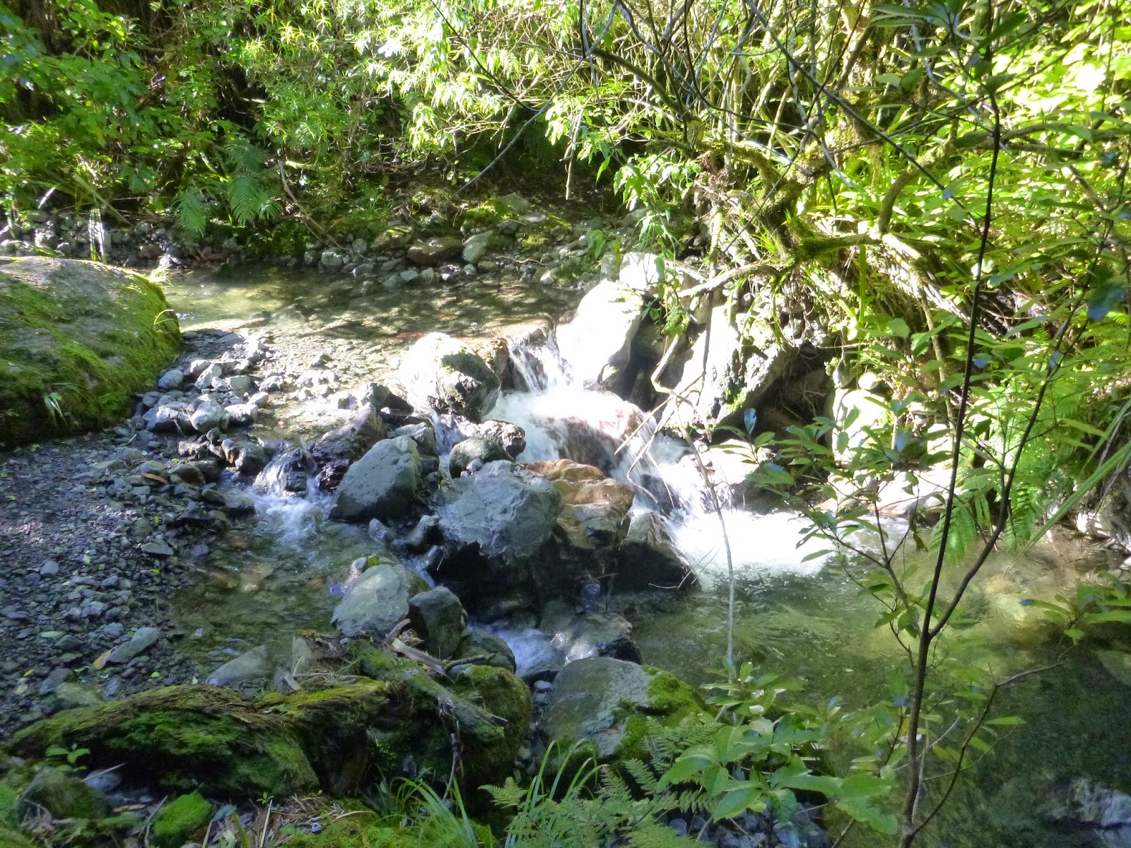
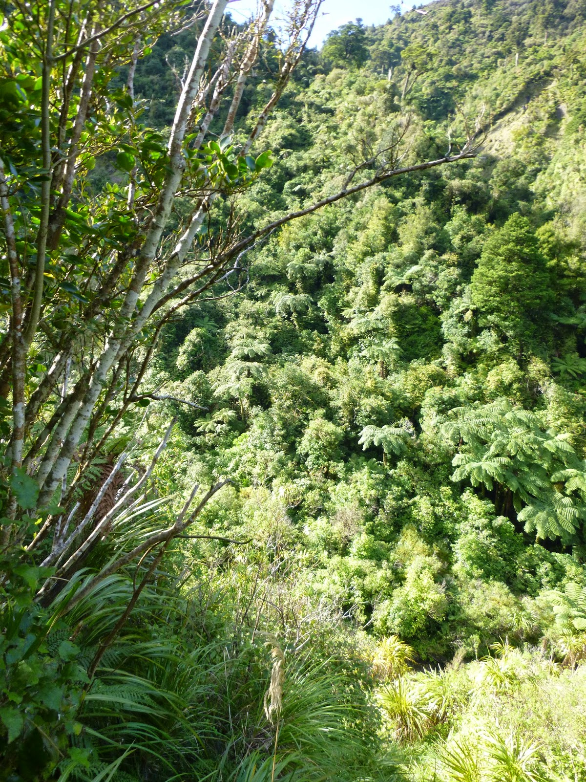
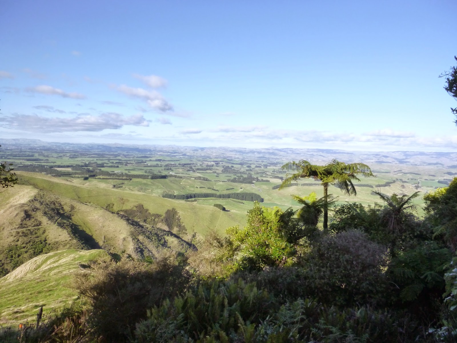
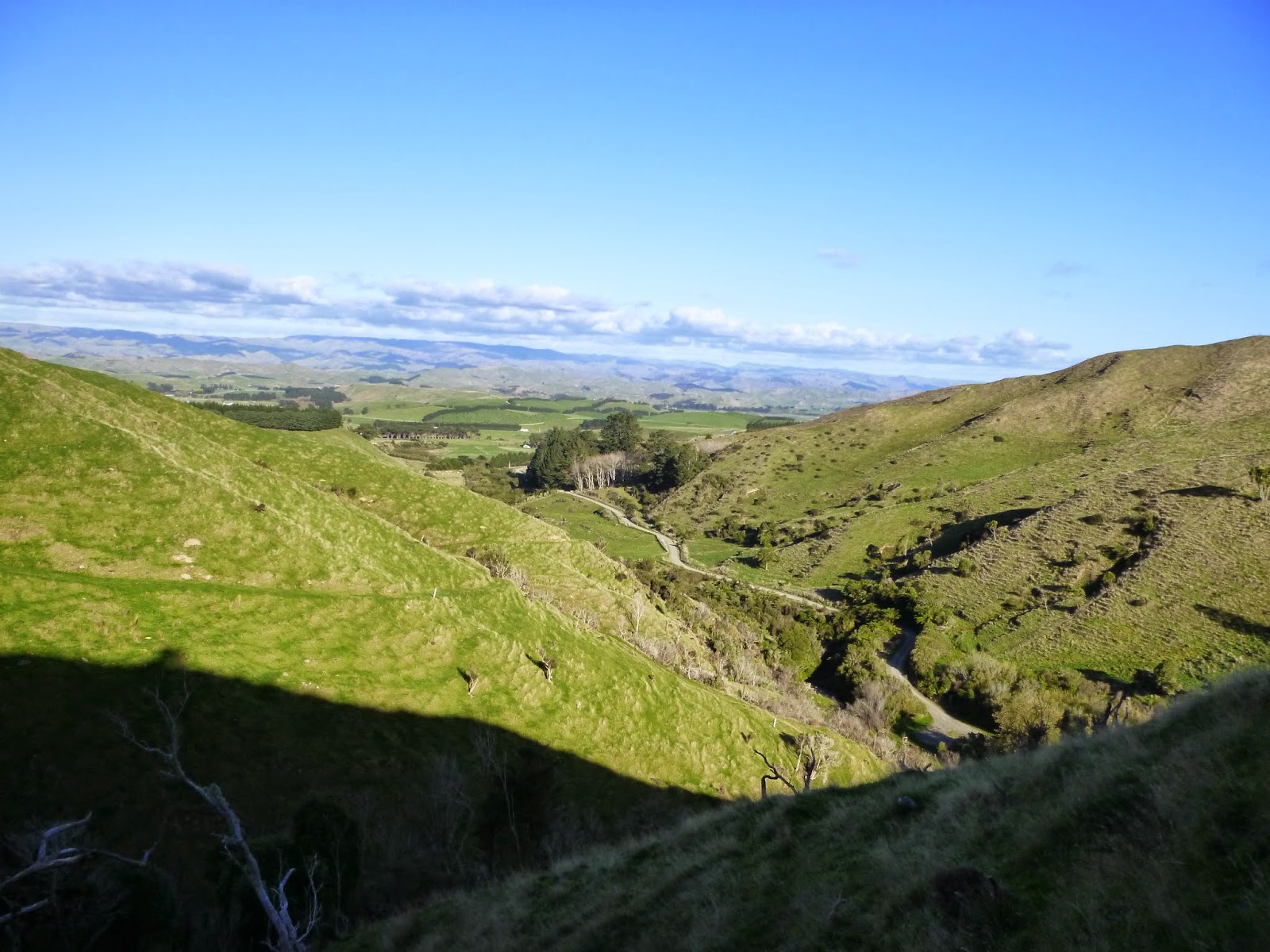
Pretty Pictures from the Coppermine Road Tracks

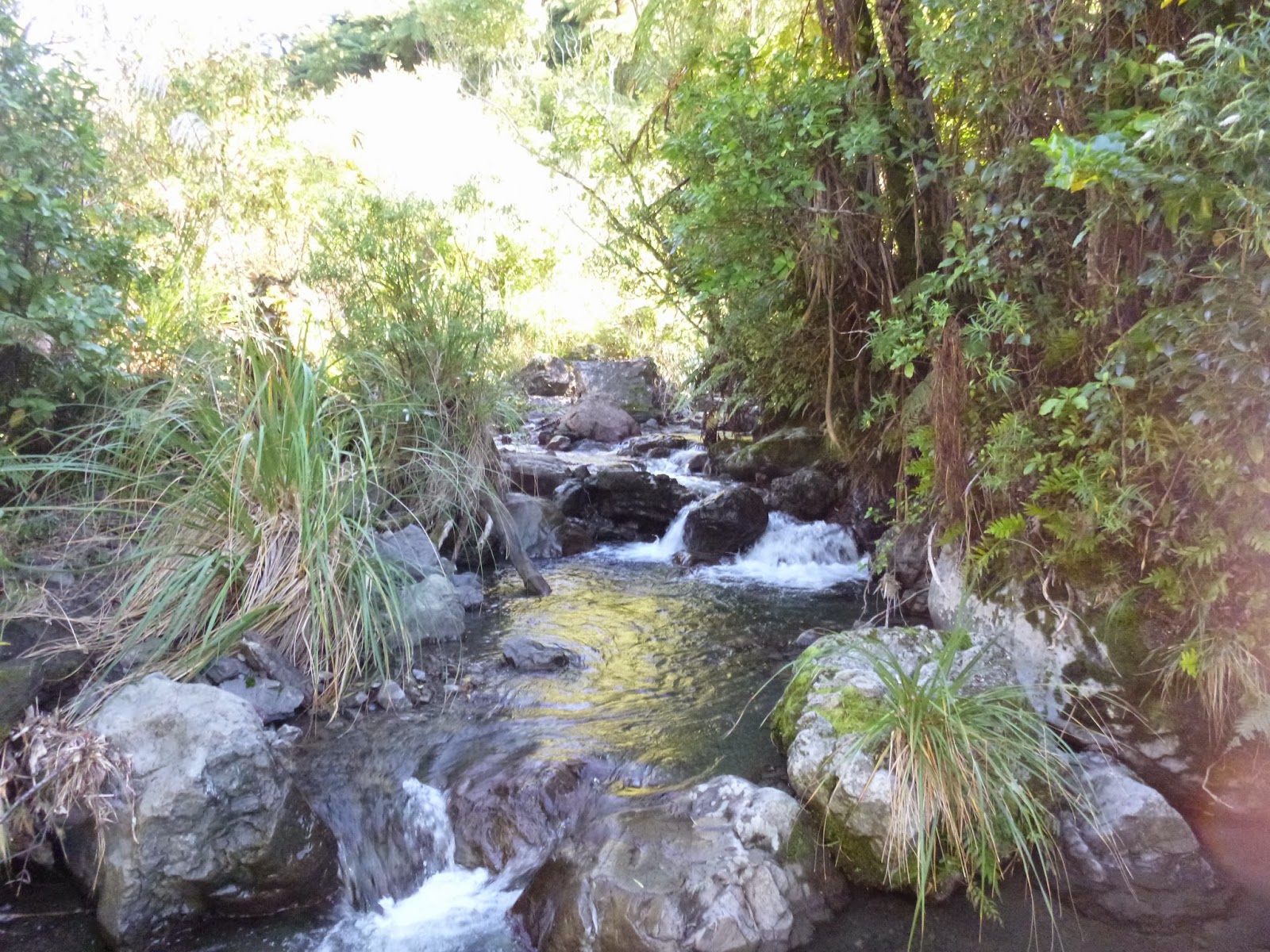
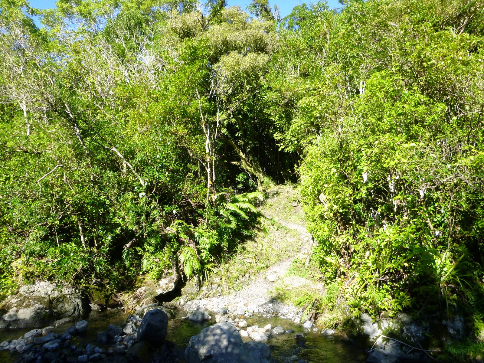
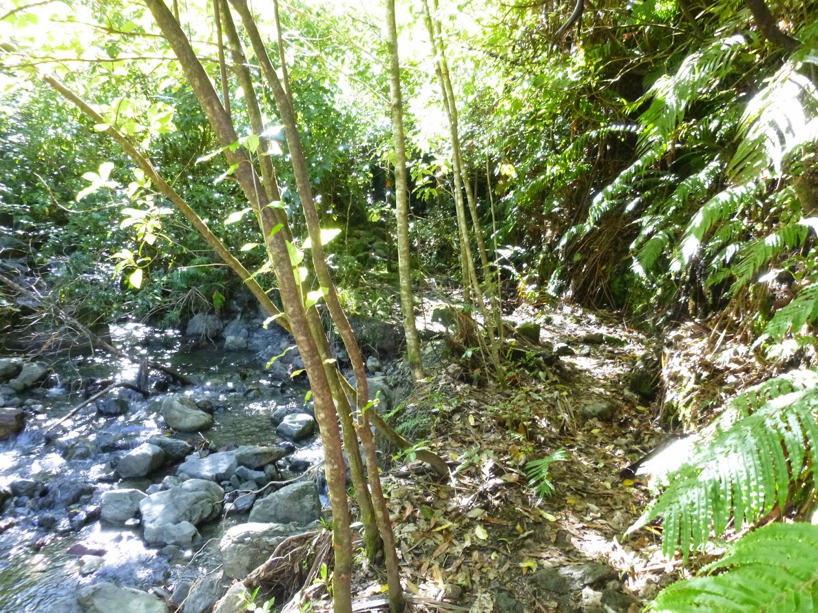
I'm going to keep this short so that I can post lots of lovely photos for you all. This is a walk I've been wanting to do for a while. It lies on the far side of a range of mountains from where I live & work, but is relatively easy to drive to due to the Manuatu Gorge that runs through the mountain range. Apparently its the only gorge to run right through a mountain range in the world.

The majority of tracks in the New Zealand wilderness have been made by hunters and loggers, but, as seen in Taranaki, some have been created by miners. This track is another one of those, in an area that has small amounts of Copper. I will shortly add videos and pics with a short history of the place here, but for now here's lots of pretty pictures. (Click on one to get a slide show)